About
Length: 32.3 km.
- Parking 336 m
- Stop 82 m
- To centre 29 km
Cottages and holiday homes nearby
Getting there
Parking nearby
The nearest parking area is about 336 m from the destination.
- Parking areaDirections336 m
- Parking areaDirections621 m
Source: © OpenStreetMap contributors (ODbL)
Public transport
- Rutalahti EDirectionsBus stop82 m
- Rutalahti PDirectionsBus stop136 m
- Rutalahti Oittila PDirectionsBus stop312 m
Source: © OpenStreetMap contributors (ODbL)
Hotels and stays nearby
Find a hotel or accommodation near this place.
Find a place to stay → Tours & activities → Rental car →Nearby
See nearby
Football fieldIllustration
Rutalahden pallokenttä
Cooking facilitiesIllustration
Koskikaran luontopolun keittokatos
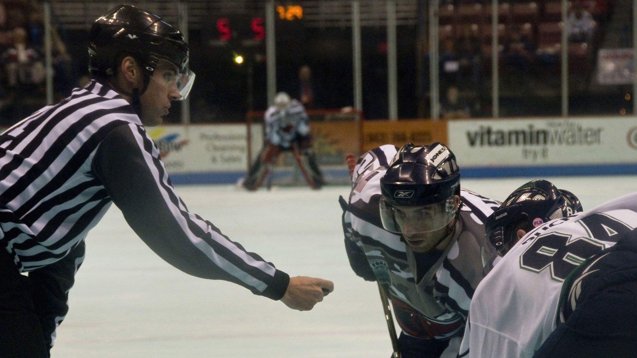
RinkIllustration
Rutalahden jääkiekkokaukalo
Basketball courtIllustration
Rutalahden koripallokenttä
More places nearby
More in this category nearby
- Tervasreitti · Joutsa · 5.2 km
- Tervasreitti (läntinen osa) · Joutsa · 10.9 km
- Lakeland by Cycle: Toivakan yhdysreitti · Toivakka · 11.1 km
- Tervasreitti · Joutsa · 23.3 km
- Tervasreitti (pyöräily) · Joutsa · 23.6 km
- Valtakunnallinen pyöräilyreitti · Jyväskylä · 25.6 km
Other places nearby
- Rutalahden lentopallokenttä · Joutsa · 0.4 km
- Rutakoski · Joutsa · 0.4 km
- Kissakoski · Joutsa · 0.6 km
- Myllykoski · Joutsa · 0.7 km
- Rautsillan uimapaikka · Joutsa · 0.7 km
- Koskikaran kierros · Joutsa · 0.7 km
Outdoor route info & guide
Luontoon.fi — Metsähallitus
Search for this destination on Metsähallitus's official outdoor portal — detailed route info, maps, photos, services and accessibility.
Search on Luontoon.fi →